
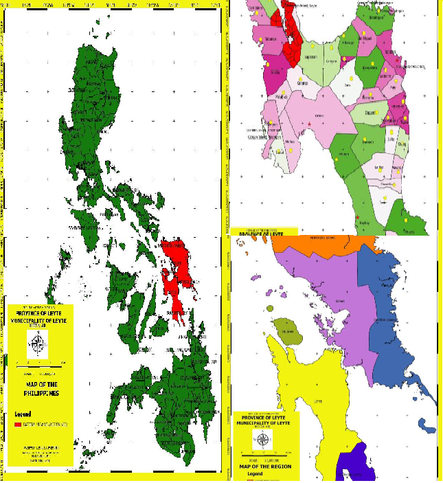
The Municipality of Leyte is located at the northernmost part of the Island of Leyte, facing the Island Province of Biliran. The urban center is strategically located at the base of the bay at 124.4867 Long and 11.3799 Lat.
On the North, it is bounded by Biliran Strait, Carigara Bay and Calubian Town. The Southern part is bounded by the Municipalities of Kanangga and Villaba. The Municipality of Capoocan occupies the Eastern front and west is bounded by the Municipalities of Tabango and San Isidro.
It has a total land area of 23,830 hectares.
LGU MAP
To Continue Reading Click: View PDF